
Moree Plains Shire Council has placed its Draft Roads Hierarchy on public exhibition following a resolution at the Ordinary Council Meeting on 21 May 2026.
The Draft Roads Hierarchy has been developed to provide a clear framework for managing and maintaining the Shire’s extensive road network, ensuring investment decisions align with community needs and available resources.
“Delivering a reliable road network requires balancing limited funding against growing maintenance and renewal demands. Council must make strategic investment decisions across roads, bridges, culverts, kerb and guttering and road shoulders to support community connectivity and the Shire’s agricultural economy.” said Moree Plains Shire Councillor and Chair of the Road Network Advisory Committee, Peter Mailler.
Moree Plains Shire Council manages 2,782 kilometres of local roads, including 916 kilometres of sealed roads and 1,866 kilometres of unsealed roads made up of gravel and black-soil surfaces.
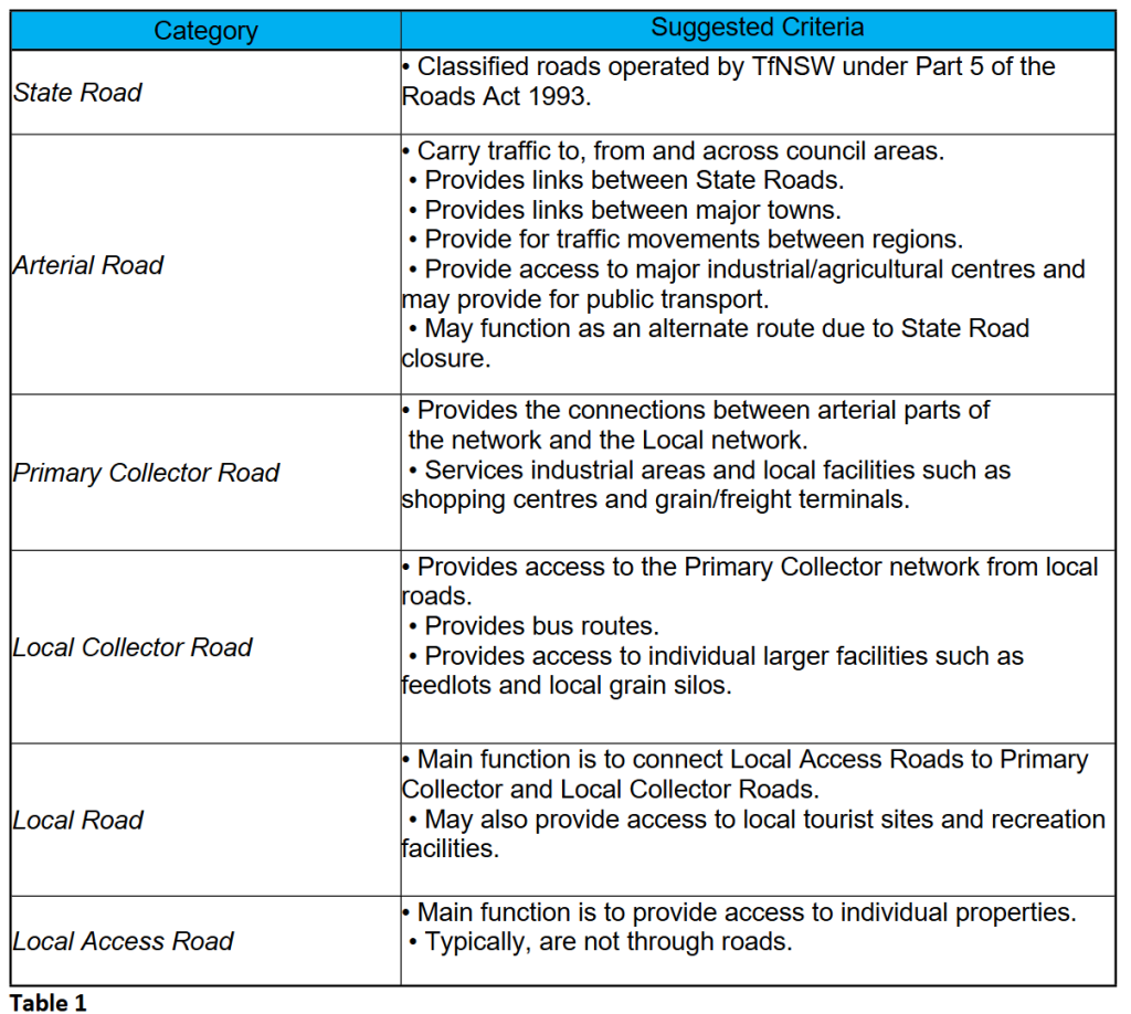
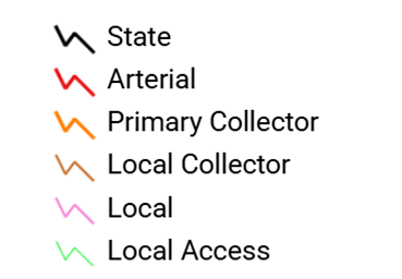
As part of the exhibition process, all public roads within the Moree Plains Local Government Area have been assigned a category based on a set of assessment criteria. The classifications were developed through internal workshops, consultation with the Road Network Advisory Committee and analysis using Council’s Geographic Information System (GIS).
Council is now seeking community input before the Roads Hierarchy is finalised.
Community members are encouraged to review the Draft Roads Hierarchy and provide feedback via the online submission form.
View the Draft Roads Hierarchy:
https://go.pozi.com/#/u1y6lq
Submissions close at 5pm on 16 July 2026.
For further information, contact Council’s Infrastructure team on (02) 6757 3222.
Don’t miss any of the important stories from around the region. Subscribe to our email list.