

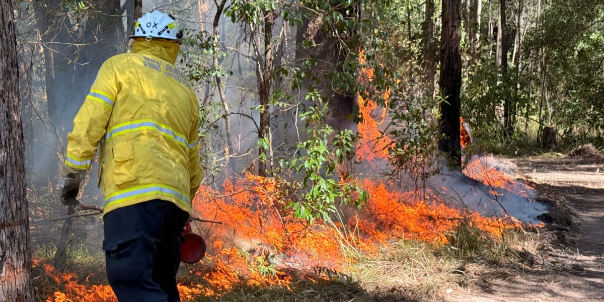
A hazard reduction burn covering about 800 hectares of the Oxley Wild Rivers National Park, near Armidale and Uralla, is planned for Monday and Tuesday this week, weather permitting.
The NSW National Parks and Wildlife Service (NPWS) burn is located east of Mihi Falls, on the edge of the national park. Smoke may affect Spring Camp, Enmore and Blue Knobby Roads, and drivers are being warned to take care and drive to conditions.
People with asthma or other respiratory problems are advised to keep clear of the area while the burn is under way.
The aim of the burn is to reduce fuel loads, helping protect the park, wildlife, neighbouring properties and local communities from the impact of future wildfires. It is one of many hazard reduction operations NPWS carries out across NSW each year, often with help from the Rural Fire Service and Fire and Rescue NSW.
For public safety, people are asked not to enter closed areas while the operation is under way. Trails will reopen once the area has been assessed as safe, and visitors are urged to check NPWS Alerts for up-to-date information on closures.
People with known health conditions can sign up to receive air quality reports, forecasts and alerts by email or SMS from the Department of Climate Change, Energy, the Environment and Water. For health information relating to smoke from bushfires and hazard reduction burns, NSW Health and Asthma Australia both publish guidance online.
More information on hazard reduction activities, and live updates on closures, is available via the NSW Government’s Hazards Near Me app and website, or through the NSW Rural Fire Service.
Something going on in your part of the New England people should know about? Let us know by emailing newsdesk@netimes.com.au