The Bureau of Meteorology (BOM) has issued a warning for severe thunderstorms expected to develop across the central and northern slopes and ranges, including the New England region, from this evening and into the weekend.
Damaging winds, large hail and localised heavy rainfall were forecast, with weather activity to intensify throughout today across inland areas and the central coast. Peak rainfall rates of 30 to 50 millimetres per hour are possible, with some locations potentially receiving between 70 and 120 millimetres across a 24-hour period.
Areas of concern include the northwest and northern slopes, as well as coastal districts like the Hunter, Sydney and Illawarra. Towns including Tamworth, Narrabri and Mudgee are likely to be impacted, according to the Bureau. Earlier this afternoon, 33.8mm was recorded in just 30 minutes at Cudal Post Office.
NSW State Emergency Service (SES) Assistant Commissioner Nicole Hogan said the rain may offer some reprieve from ongoing bushfire conditions, but warned that the associated hazards should not be underestimated.
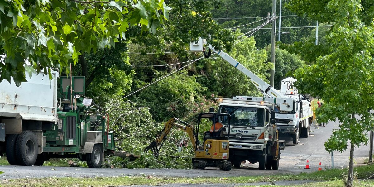
“There’s a risk of fallen trees particularly after bushfires in the Northern region, so we are urging people to monitor conditions, be alert and stay away from overhanging branches,” Assistant Commissioner Hogan said. “Trees that have been damaged by fire may be unstable and more likely to fall when it is windy and wet.”
She added that the expected rainfall may lead to dangerous flash flooding:
“Storms and localised heavy rain may also cause flash flooding due to increased runoff in locations that may not normally flood. If you come across a flooded road, turn around and find a safer route.”
With an uptick in severe weather likely to increase demand on emergency services, the SES says volunteers are on standby but is encouraging residents to take proactive safety measures.
“Take those simple steps now to stay safe, including securing loose items around your backyard, trimming trees and branches and parking your car away from trees and powerlines,” she said.
Conditions are forecast to ease by late Friday, before another round of thunderstorms develops over the weekend. These are expected to shift northwards into early next week, again affecting parts of New England and the Northern Tablelands.
With the summer holiday period now underway, Assistant Commissioner Hogan also issued a reminder to travellers to prepare accordingly.
“If you’re hitting the road this festive season, ensure you have the Hazards Near Me app downloaded and set up a watch zone for the area you are travelling to,” she said. “Before you leave, plan your travel via the live traffic website so you are across any road closures or hazards.”
For the latest warnings and updates, download the Hazards Near Me app or visit the NSW SES website. For emergency help during storms or floods, call the NSW SES on 132 500. In life-threatening situations, always call Triple Zero (000).
Like what you’re reading? Support New England Times by making a small contribution today and help us keep delivering local news paywall-free. Donate now