Farmers across northern New South Wales are being encouraged to attend upcoming information sessions hosted by NSW Farmers to help them navigate the state’s new draft Native Vegetation Regulatory (NVR) map.
The draft map, recently published by the NSW Government, is designed to give landholders a clearer picture of how native vegetation regulations apply to their properties. While the existing transitional map from 2017 remains the legally enforceable tool, the draft map introduces the full set of land categories defined under the Local Land Services Act, allowing farmers to see what may change when the final version is released.
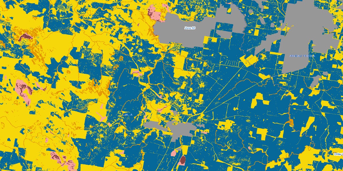
The mapping project has been years in the making and aims to balance agricultural activity with environmental protections. It divides land into categories that determine whether clearing native vegetation is regulated, exempt, or subject to special restrictions. Sensitive areas such as endangered ecological communities, riparian zones, or steep and erodible land are all covered under the regulated categories. At the same time, other land is classed as exempt, meaning normal farming activities can proceed without further approvals.
The draft map provides a more detailed statewide picture than the transitional map but is still subject to refinement. Farmers who believe their land has been inaccurately categorised can request a review, with the state offering free map reviews and explanatory reports to clarify the reasoning behind classifications. But many say key questions remain unanswered.
“Even though the map launched nine years ago, the successive government and environment department have still not explained the underlying rules about why land has been classified as regulated or unregulated,” said Michael Collins, Northern Regional Services Manager (Regions 1,2 and 4) for NSW Farmers.
For many farmers, the technical language of land management frameworks and the detail of digital mapping can be difficult to interpret. This is where the NSW Farmers information sessions come in. Rolling out across the New England in the coming weeks, these meetings will give landholders the chance to sit down with experts, look directly at how their properties have been mapped, and ask questions about what the categories mean in practice.
“NSW Farmers is strongly against the map being ‘finalised’ – that’s another word for having regulatory force,” Mr Collins said.
“Right now, the map is not accurate enough to be the final word on what you can and cannot do on your land.”
While the government provides online mapping tools, not all farmers are confident in using them.
“Online mapping tools are problematic for many, and of course connectivity in regions is an added challenge,” Mr Collins said.
The primary aim of the sessions is to demystify the system and give farmers practical help.
“These sessions will provide farmers with more information about what the native vegetation map represents on their land, and how to challenge the map when it is incorrect,” Mr Collins said.
Mr Collins said that feedback from farmers has revealed recurring themes.
“To date, the main feedback has been that farmers are keen to understand the underlying rules about how their land has been classified, why it has been classified like that, and what that means for how they productively use their properties,” he said.
Questions about how the mapping will affect everyday farming are also front of mind.
“The reforms in 2016 that led to the idea of the map said it needed to be a clear and helpful way to guide land use – but the map has never been able to achieve that,” Mr Collins said.
“Doubt about land use is a real risk to long term planning. Land is very expensive to buy, and the ability to use existing farming land is vital to sustainable farming.”
His message to farmers is simple: don’t miss the chance to have your say.
“These sessions are a prime opportunity to understand how your land is being regulated, and how to challenge inaccuracies in the government’s native vegetation maps, so you can keep on farming,” Mr Collins said.
Sessions will be held as follows:
- Tenterfield: Tue 30 Sept 4:00pm – Tenterfield Golf Club
- Inverell: Wed 1 Oct, 4:00pm – Inverell RSM
- Barraba: Thu 2 Oct, 12:00pm – Barraba Bowling Club
- Scone: Tue 14 Oct, 4:00pm – Scone Bowling Club
- Tamworth: Wed 15 Oct, 4:00pm – West Leagues Club
- Gunnedah: Thu 16 Oct, 4:00pm – Club Gunnedah
Attendance is free but registration is essential and can be completed online.
Don’t miss any of the important stories from around the region. Subscribe to our email list.