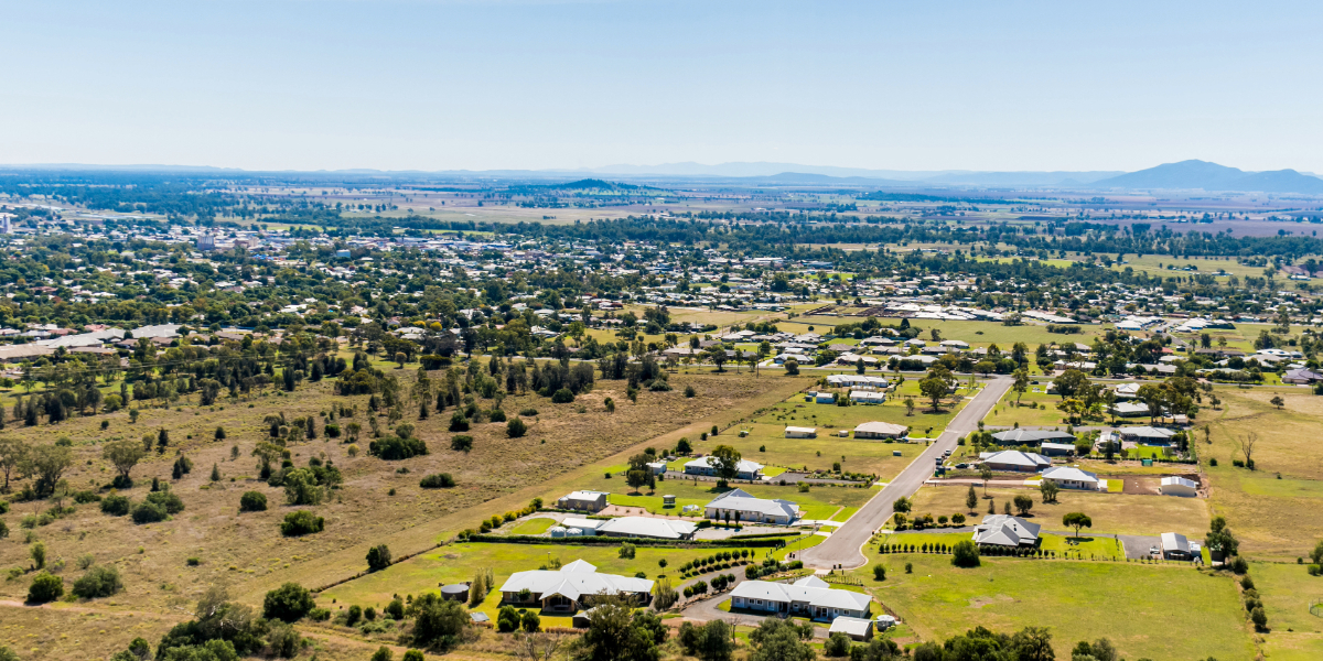
Its Gunnedah’s turn to join the flood watch, with the NSW SES advising people to stay informed about predicted minor flooding on the Namoi River.
The Namoi River at Gunnedah is currently at 3.72 metres and rising, below the minor flood level, however, it may peak near the minor flood level (7.30 m) overnight and into Thursday.
Based on predictions from the Bureau of Meteorology, the following areas may be impacted by dangerous floodwaters:
- Properties on the northeast side of Ruvigne Road and the south side of Bluevale Road
- Campervan and Motorhome Club Australia (CMCA) RV Park
- Cushans Reserve and near Cohens Bridge
- Water impacts Gunnedah to Kelvin Road approximately 500 metres north of Cohens Bridge at the ‘Pig Hole’
- The Tamworth Road closes at Hoss Crossing, -Tommy’s Swamp
- Water begins to impact the low areas of Kelvin, Bluevale, Wean, and Orange Grove Roads. These roads may close at very short notice when water reaches this height.
- Rural properties on the northern side of the Namoi River will become isolated once these roads are closed. Unfortunately, alternative routes via Manilla are unavailable as Rangari Road closes at the Manilla end.
- Water encroaches upon Woolshed Reserve, Donnelly Playing Fields, and the western end o Maitland Street near Benevolent Park. Access from Maitland Street into Warrabungle Street is impeded.
- Water overflows onto the northern approach to the Ballyragan Bridge, leading to the closure of Bluevale Road, which will impact access to the airport.
- Racecourse Road offers limited access to the Common House near the Racecourse at Hanson Concrete Batching Plant.
“You should stay informed by monitoring warnings issued by NSW SES on their website and Facebook page, listening to your local ABC radio station, and checking the latest weather information from the Bureau of Meteorology online.” said the NSW SES release.
What you need to do
If you have a Home or Business Emergency Plan, follow it. Otherwise, have a conversation and plan for what you will do and take with you if you need to evacuate.
Consider the consequences of road and bridge closures and water over roads and make alternate arrangements for work, children, and travel.
Obey all signs about road closures and instructions from emergency services.
Never drive, walk, ride through, play or swim in floodwater – it is dangerous, toxic, and may void your car insurance.
If it’s flooded, forget it, or you could face a fine.
Avoid storm drains and pipes, ditches, ravines, creeks, and rivers.
“People in areas likely to be impacted by flooding should raise their assets, including waste and chemical containers above expected flood heights. Share this information with family, friends, and neighbours and help others prepare where possible.”
If you are likely to be isolated due to flooding, stock up on essential items now, while people working or camping along the river should monitor river heights and be prepared to relocate to higher ground.
Farmers should consider moving pumps and farm equipment to higher ground.
Companion animals and livestock should be relocated to higher ground that will not become an island.
For more information follow the NSW SES Facebook page.
Don’t miss any of the important stories from around the region. Subscribe to our email list.