State-of-the-art colourised laser technology has been added to Fire and Rescue NSW’s (FRNSW) fleet of drones, giving firefighters the ability to more accurately identify bush fire threats.
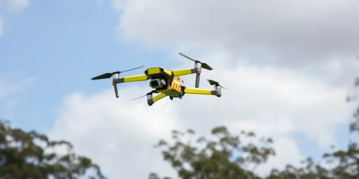
The drones – or Remotely Piloted Aircraft Systems (RPAs) – were introduced last year as part of the NSW government’s response to its Bushfire Inquiry recommendations. $5.2 million was earmarked in the state budget to expand the RPAS drone program with new aviation staff, training and equipment.
The drones are connected to FRNSW’s wireless and satellite communication networks, allowing images from the scene of an emergency to be viewed and analysed in real time. Around 200 firefighters have been trained to use them.
Minister for Emergency Services and Resilience Steph Cooke said the Light Detection and Ranging (LiDAR) sensors will help firefighters to better manage fuel loads by mapping bushland density.
“This state-of-the-art technology gives our firefighters a greater understanding of the bush so during a fire they can better protect properties, and during a hazard reduction operation they can more effectively target areas with higher fuel loads,” Ms Cooke said.
“Having lasers fitted to drones in Fire and Rescue NSW’s $5.4 million fleet will give firefighters greater capability to keep our communities safer and stronger throughout this period of increased fire danger.”
The LiDAR sensors produce precise, three-dimensional point data fully integrated with colourised red, green and blue high-resolution imagery.
During a hazard reduction operation, laser imagery collected before and after the burn will allow firefighters to accurately determine how much bushland has been treated.
FRNSW Deputy Commissioner Megan Stiffler said LiDAR sensors can also be used during a flood recovery operation, helping clean-up crews target their efforts.
“The LiDAR sensors use eye-safe lasers to measure the volume of flood debris and gives FRNSW a better visual of the product so we can determine what it is. That information takes a lot of the guesswork out of flood recovery operations, leading to a faster and more efficient clean-up,” Deputy Commissioner Stiffler said.
“This technology, which can work in any light conditions, day or night, is a real game-changer for Fire and Rescue NSW and significantly increases our aerial firefighting capabilities.”
The drones have already proven useful despite the wet conditions this past year reducing the bush fire threat. They were used by FRNSW in July to assess flood-damaged infrastructure, identify hazardous materials and locate debris in cane fields across the Northern Rivers region.
Got something you want to say about this story? Have your say on our opinion and comment hub, New England Times Engage