Disaster assistance has now been extended to the Gwydir local government area, as well as many other LGAs following heavy rainfall and flooding across NSW from 1 April 2024.
The assistance measures are being provided by the Albanese and Minns Governments through the Commonwealth-State Disaster Recovery Funding Arrangements (DRFA).
Support includes:
- Assistance for eligible residents to help meet immediate needs like emergency accommodation or small cash payments to purchase essential items generally provided from evacuation or recovery centres.
- Grants for eligible residents to replace lost essential household items to maintain basic standard of living.
- Grants for eligible residents to undertake essential structural repairs to restore their homes to a safe and habitable condition.
- Support for affected local councils to help with the costs of cleaning up and restoring damaged essential public assets.
- Concessional interest rate loans for small businesses, primary producers, and non-profit organisations and grants to sporting and recreation clubs to repair or replace damaged or destroyed property.
- Freight subsidies for primary producers to help transport livestock and fodder.
Acting Federal Minister for Emergency Management Catherine King said the extent of the flooding impact is still being assessed as the waters recede.
“This flood event has caused damage across communities, impacting homes, farms, businesses and volunteer groups,” Minister King said.
“Many Government agencies and community groups are still out on the ground to assess the damage and continue the mammoth clean-up effort.”
“I know the Minns Government is continuing to assess the situation and is adapting as we gain a clearer picture of the impact of this disaster, and the Albanese Government stands ready to support.”
Acting NSW Minister for Emergency Services Penny Sharpe said the extension of this Natural Disaster Declaration demonstrates the NSW Government’s commitment to adapt as the full extent of the impacts are known.
“We moved quickly to ensure support became available to communities affected by this natural disaster, as the flood waters recede and storm impacts are reported we are continuing to assess the damage and ensuring support is in place to help communities recover,” Minister Sharpe said.
“NSW Government agencies like the State Emergency Service, Environmental Protection Authority and Reconstruction Authority are out on the ground working closely with Local Government and community groups to commence the mammoth clean-up effort.”
“This was a storm event that has affected each area differently, but it was widespread and work to assess the impact is continuing. The extension of this disaster declaration unlocks assistance for additional communities in need.”
For information relating to financial assistance, replacing lost documents, location of your nearest recovery centre and more, please contact Service NSW on 13 77 88 or visit the NSW Government website.
To apply for a concessional loan or primary producer grant, contact the NSW Rural Assistance Authority on 1800 678 593 or visit the Rural Assistance Authority website.
Further information on disaster assistance can be found on the Australian Government’s Disaster Assist website.
The news comes as the NSW SES and Bureau of Meteorology update their warnings that minor flooding is likely along the Barwon River Mungindi to Collarenebri tomorrow.
Those in the area should stay informed by monitoring warnings issued by NSW SES on their website and Facebook page, listening to your local ABC radio station, and checking the latest weather information from the Bureau of Meteorology online.
What are we expecting?
The Bureau of Meteorology advises major to moderate flooding is occurring along the Weir River at Surrey and Talwood.
Floodwaters travelling downstream from the Weir River are likely to cause minor flooding along the Barwon River at Mungindi from late Friday.
Once upstream peaks are observed, peak predictions for Mungindi will be provided.
Based on predictions from the Bureau of Meteorology, the following areas may be impacted by dangerous floodwaters:
- The Barwon River at Mungindi is likely to reach the minor flood level (6.10 m) from late Friday. The peak prediction will be provided once upstream peaks are observed.
- Moderate flooding is continuing along the Weir River downstream of Giddi Giddi South at Talwood. Major flooding is steady along the Weir River at Surrey.
- The Weir River at Talwood is currently at 3.60 metres and falling, above the moderate flood level (3.50 m). Renewed rises are likely at the Weir River at Talwood as floodwaters arrive from upstream and a second moderate flood peak of 3.90 metres is likely overnight Friday into Saturday.
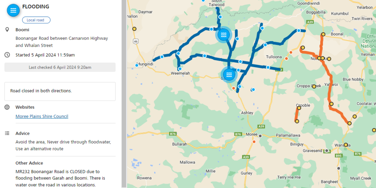
- Road updates as follows:
- The Carnarvon Highway (Moree to Mungindi) has now reopened.
- The Newell Highway between Moree and Boggabilla remains open to all traffic.
- Garah – Dolgelly Road between Carnarvon Highway and Carrigan Road is closed
- Boomi – Boonangar Road between Carnarvon Hwy and Whalan Street is closed in both directions.
- Weemelah – Caloona Road between Daydawn Road and Carrigan Road is also closed.
Like what you’re reading? Support New England Times by making a small contribution today and help us keep delivering local news paywall-free. Donate now